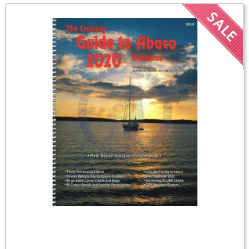
Among other several charts in navigation, a nautical chart is
the most essential tool used by mariners. Everybody knows what a map is, and a
nautical chart is also a type of map. An ordinary may show roads, buildings,
trees, river, and other landmark structures in a region. Unlike an ordinary
map, NOAA
nautical charts may contain information such as hydrographic data, sea
area, shoreline, seafloor, nearby coastal regions, water depths, heights of
land, and water currents. If you are looking for a specific landmark in an
ocean, buy accurate NOAA charts online.
- Making of nautical charts
Many professionals, including engineers, geologists,
biologists, military, and experts from research departments of various sectors
contribute their parts when making a nautical chart. They use advanced
technologies to study the vast areas of a water body. It takes time and efforts
to not down important notes after thoroughly evaluated the chain of historical
events and the concurrent scenario. This means NOAA nautical charts contain all
the important facts and data required in sea navigation.
Why NOAA?
Since its establishment in 1970, NOAA agency of the US
Department of Commerce monitors the operation of marine activities regarding
the conditions of the oceans and the atmosphere. The agency issues warnings or
alert system at the time of danger and unfavorable weather conditions. It holds
responsible for providing guidelines and rules for the use and the protection
of coastal and ocean resources.


No comments:
Post a Comment